Most everyone knows it’s a little tough to get to Red Hook. People who live here know that without a car and can take a while to get to work. At the same time, it is also true that Red Hook’s isolation has been a factor in its evolution into an eccentric enclave, distinct from the surrounding neighborhoods.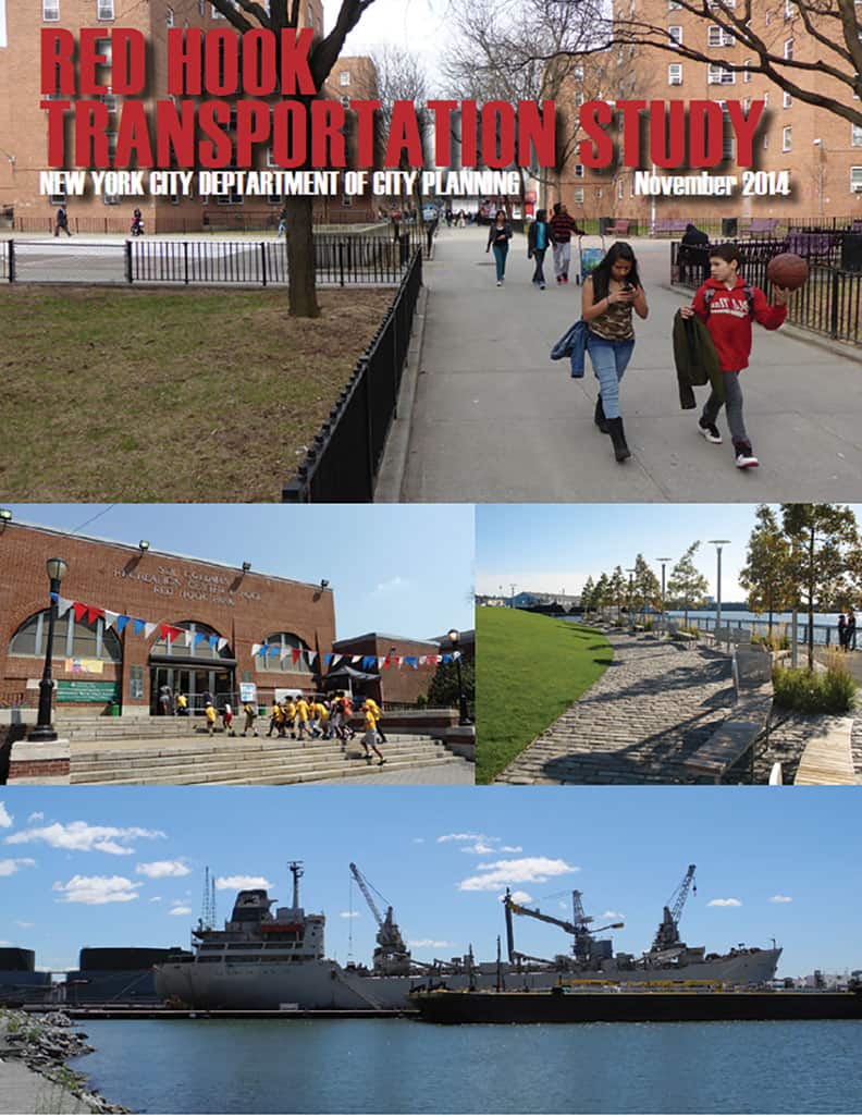
Things are changing and the real estate industry has set its sights on Red Hook. In anticipation, people from the Dept. of City Planning (DCP) spent time in the neighborhood and have just published “The Red Hook Transportation Study.” As studies go, it is quite a good report, and will be useful to guide elected officials and city agencies once we can get them interested enough to allocate funds for local projects.
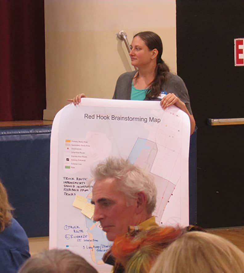
Aline Feder from the DCP Brooklyn office became a familiar face at many community meetings in 2013 and 2014. Undoubtedly, her first-hand experience with the Red Hook community was a big factor in producing such a knowledgeable report.
The study begins with Red Hook history, reminding us that Red Hook became a major NYC shipping hub after 1850. Until the construction of the Gowanus Expressway and Battery Tunnel after WW 2, the area known as Red Hook included what is now called Carroll Gardens, the Columbia Waterfront District and the western portion of Gowanus. Once cut off by the highway, Red Hook receded to its present boundaries – those being Hamilton Avenue and the water.
The 1960’s saw a decline in shipping and manufacturing. By the 70s and 80s the neighborhood was in major decline, losing population and becoming dangerous. The population was halved from a 1950 peak of 20,500 to a bit over 10,000 by 2000.
Since 2000, population has stayed constant but demographics have changed. Whites have gone from 8% to 18% of the population, blacks from 43% to 34% and Hispanics from 47% to 43%. Average income in the Red Hook Houses has stayed below $30,000, but incomes range from $60,000 and up in the rest of the community.
The comprehensive report looks at all modes of transportation, including walking, cycling, buses, trains, water and of course driving, both car and truck. In all cases, shortcomings are cited, and recommendations are proposed for most.
The authors of the report seemed horrified by our sidewalks. They are called dirty, full of trash, broken, overgrown with weeds, with some often having cars and trucks parked on them.” The Hamilton Avenue pedestrian bridge is called unsafe and unfriendly, despite a recent renovation. The other crossings, on Clinton, Mill, Centre and Court are “at best, unpleasant, and at worst, dangerous.” The report cites statistics reporting a “significant” number of bicycle, pedestrian and auto accidents on Hamilton Avenue.
Subways serve Red Hook only at its periphery, meaning the Smith and 9th Street F and G station. It notes the lack of access for the handicapped.
Before the MTA reduced bus routes in 2009, Red Hook was served by the B37, B61, B71 and B75, with the B77 running east to west on Union Street. These five routes have been consolidated into two – the B57 and B61. IKEA runs shuttle buses from three subway stops to the store. Ferries run from IKEA and Fairway to lower Manhattan.
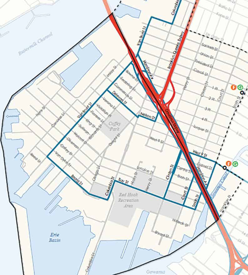
Not so well known is the fact that Red Hook actually has designated truck routes. Except for trucks making local deliveries, they are only allowed on the periphery, coming up via Van Brunt, over on Beard, one block of Columbia, then Bay to Court and Smith Streets where they can travel back to Hamilton Avenue. This means that a tractor trailer driving on Richards Street is illegal.
There are many parking lots for buses and other commercial vehicles. We are the home of five junkyards, eight lots strewn with abandoned vehicles, a number of school bus depots, and a large site full of parked film vehicles. The report was issued last November, and since then another 200,000 square foot commercial parking lot has opened on Beard Street, adjacent to IKEA.
After a thorough presentation of what is, the study goes on to make some appropriate suggestions. City Planning reports do not come with funds attached. They can and should be used by local activists to petition the NYC Department of Transportation and the MTA/NYC Transit for improvements. Perhaps some smaller projects could be implemented via the Participatory Budgeting that our councilman is part of. City Planning also suggests that Community Board 6 should be part of the lobbying process.
Suggestions
Sidewalks begin the section titled “recommendations.” Problem areas are identified. An example is an abundance of weeds and trash at Hicks between Huntington and West 9th.
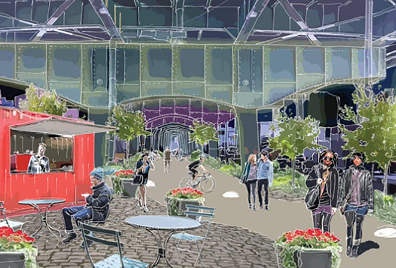
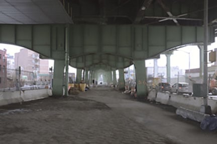
For most of the sidewalk problems, the solutions require common sense – fixing the cracks, pulling the weeds, moving cars off of them. Normal sidewalk enforcement by the city is in order. They save the innovative ideas for Hamilton Avenue . One proposal would turn the space under the Gowanus between the lanes of traffic into a pedestrian mall. They would make it a pleasant and lit space with clean paths, colorful artwork and perhaps even food vendors . The goal is to make would make the trek across Hamilton safer and less onerous.
The report strongly advocates express bus service to Manhattan. They suggest changing the route of the M22, a bus that travels crosstown through Tribeca. The change would bring it down Broadway to the tunnel. City Planning spoke to the Transit Authority and were told that this was an expensive option. An alternative plan would be a shorter route only during rush hours – but this would also involve some additional expense. The report say “ Despite these concerns, we have included this recommendation in case funding becomes available in the future.”
Closing out mass transit suggestions, DCP suggests improvements to some bus shelters. They also point out that the Smith and 9th Street train station, despite a recent renovation, has no accommodations for the handicapped.
Our roads need better signage, many are in need of restriping, and some are in disrepair, says the report. One of many examples cited:
“ Richards Street, north of Verona Street is characterized by industrial uses and therefore experiences heavy truck traffic along this segment. The pavement has been broken and the curbs have been eroded, creating poor driving conditions. The roadway is relatively wide between Verona and Lorraine streets with only two lanes of moving traffic and no street markings. As a result, the roadway is potentially confusing and unclear to motorists.”
Cobblestones are another problem. The report recognizes that cobblestones are an integral part of our history, but has no definitive answer as to how to preserve them. Suggestions include taking them out and repurposing them; paving over the crosswalk areas to make it easier to cross; putting them in storage for some as yet unknown future use; or continue to fix them on an ad hoc basis, which it claims is not a long-term solution. Paving over is another option, but not historically pleasing.
Additional areas of improvement include more east-west bicycle paths; making the Hamilton Bridge pedestrian overpass aesthetically pleasing and safer; improving truck routes by adding more daylighting (removing parking from corners); enforcement of existing laws; better signage and adding loading zones on Van Brunt to eliminate double parking.
Additional ferry service and possibly revisiting trolley or light rail service rounds out the report.
This is a very thorough report, and while it means nothing in itself, it should be used as one guideline for the future of getting around the neighborhood. The report is available online and is available at http://www.nyc.gov/html/dcp/html/transportation/red_hook.shtml


