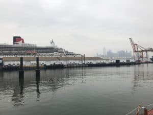
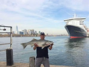
When the Queen Mary 2 was docked at the Brooklyn Cruise Terminal, on May 17, Red Hook took notice.
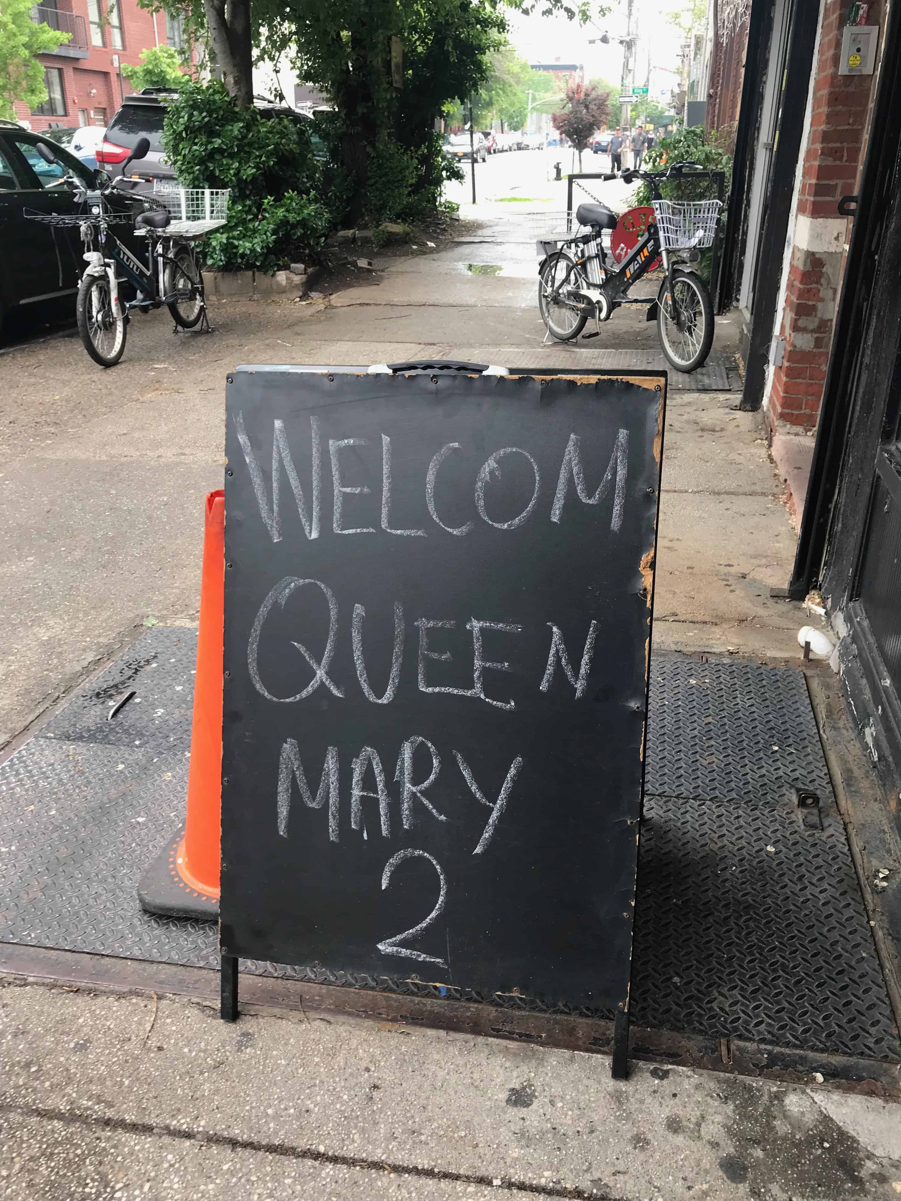
Mark’s Pizzeria put out a sign welcoming the ocean liner that temporarily reconverted the skyline.
“I have noticed the QM2 a few times,” Christina Daniels at Pioneer Works wrote in an email. “It always takes me a minute to realize it’s there because it’s so massive and looks like a high-rise that popped up overnight rather than a cruise ship.”
Through a galley window of the Mary A. Whalen, a retired oil tanker on Pier 11 and now home of the PortSide Museum, the Queen Mary 2 loomed large.
It remains one of the tallest ocean liners ever built and the only one in the world to have its own planetarium. From its keel (bottom) to funnel (chimney), the ocean liner is about 72 meters (237 feet) tall. It can fit nearly 4,000 people and carry 151,400 tons.
When QM2 was completed in 2004, it was the largest cruise ship in the world; 14 years later it remains in the top 20.
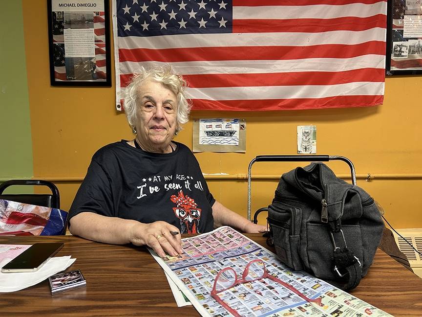
Carolina Salguero, the founder of PortSide, said the tanker used to fuel the original Queen Mary, which was launched in 1934. The Whalen was out of service by 1994 and “In her last few years of work,” Salguero said, “She was doing a lot of what they call creek work, and it included the Gowanus Canal and delivering fuel to cruise ships.”
May is a busy month at PortSide. Dubbed “The Mary Month of May,” PortSide hosts Puerto Rico WaterStories (May 25), a day for NYCHA residents (May 26), and an African American Maritime History Challenge (May 30).
An updated website for Hurricane Season
The Queen Mary 2 left on schedule that evening for Southampton, England. Salguero said scheduling will become more complicated once hurricane season starts on June 1.
Liners from Princess Cruises and the MV Aurora have both been delayed due to inclement weather.
“The Aurora was held during all the crazy hurricanes down south.”
She recalled the ocean liner docking in Red Hook for three or four days beyond its intent.
“If you imagine from a maritime point of view, you’re trying to deliver cargo or move people around, so the boats were all displaced and had to negotiate around or between those storms, or be held at various ports when those storms were coming back to back.”
Since Hurricane Sandy, hurricane awareness and preparedness has been a major concern for the PortSide Museum.
“We hope that the neighborhood is more prepared for a flood than they were last time,” Salguero said.
Red Hook WaterStories, PortSide’s “e-museum,” has a major section dedicated to resiliency plans. They received recognition from The White House and the New York Senate for their Sandy rescue efforts in 2012.
Red Hook WaterStories was the talk of the galley as the 2.0 version was slated to launch Sunday, May 20.
David Levine, who reordered and designed the Red Hook WaterStories website, cleaned up after the ship cat, Chiclet, who had rejected the majority of the sandwich he had offered.
“She owns the ship,” ship historian Peter Rothenberg said of the black feline with the fuschia paw print collar.
Salguero said the team focuses on ‘water’ rather than ‘maritime’ to broaden the cultural view of maritime history.
“(Past histories) often don’t get into those broader social, cultural and economic connections of that maritime activity,” Salguero said.
She hopes the updated e-museum will draw more visitors using mobile devices. Now on any phone, the maps of Red Hook and its surrounding water currents are interactive.
“It’s like a Google street map,” Salguero said, “but instead of that blue blob of nothingness you have a chart there for waterways.”
Partnering with MarineTraffic, a global vessel tracking company, the layered map on the homepage of Red Hook WaterStories shows vessels traveling (or docked) in real time along the Red Hook shore.
Surprising Red Hook Stories
Up through the 1900s, the upper crusts of New York turned to Red Hook for rowing and yachting recreation.
“People were down here because there were large rural patches of Red Hook for a long time,” Levine said. “They were down here shooting ducks and geese, or joining the rowing and yachting club.”
As the neighborhood industrialized, birds disappeared, the yachting went to Sunset Park, then Bay Ridge, then Sheepshead Bay.
There were many marshes in Red Hook in the 1830s. In fact, most of the buildings, including the ballfields, weren’t developed until the 1930s.
The PortSide team tosses around historical figures like they’re talking about co-workers, which, when you work in history, is kind of true. Here’s a sample from Salguero and Richard Evans, a retired engineer who handles ship repairs and maritime instruction:
Salguero: “The guy who conceived the original version of Atlantic Basin, he first tried to build a big real estate development.”
Evans: “Litchfield?”
Salguero: “What?”
Evans: “Litchfield.”
Salguero: “No, it was Colonel Richards.”
Evans: “Ah, Richards.”
Colonel Daniel Richards decided, after the Red Hook Building Company didn’t take off, to start a huge maritime center, what we now know as Atlantic Basin. He also kicked off the planning for the Gowanus Canal.
“He doesn’t succeed in executing the canal,” Salguero said, “but he has a long, sloppy launch period and (Edwin) Litchfield is involved with that.”
These initial developments are still affecting the neighborhood.
“That blue-green past is important when Sandy rolls around because so much of the neighborhood is fill,” Salguero said. “Therefore, it floods readily.”
With a hurricane like Sandy, “the rain from Park Slope came roaring down the hill, rushed out of the Gowanus Canal, and percolated up here.”
Salguero said that’s how many homeowners learned that Red Hook is vulnerable to sewersheds, which the city defines as “(areas) where rainfall is conveyed by sewer to a common outlet, either before or after treatment.”
“The pressure (from Sandy) was so great,” Salguero said, “All that water was percolating in the street and coming into homes.”
Not the prettiest of images, but one tiny example of the fascinating history you’ll uncover aboard the Mary A. Whalen.
Mary A. Whalen
Pier 11, Brooklyn, NY 11231
Correction: a previous version of this article stated that the Mary A. Whalen fueled the QM2. It fueled the original Queen Mary.

